
Indonesia
BNPB、土地拡張に関連するとされる南スマトラ州の44の焼失地域を地図に掲載
ℹ Short publisher RSS excerpt, not a full article. Open the original source for details.
BNPBは南スマトラ州の44の森林火災地域と土地火災地域を特定した。ホットスポットのほとんどは転用許可の境界線上で見つかり、土地拡張の疑いがあることを示しています。
Limited brief · not enough factual evidence for a full article.
Read original report ↗
✓A concise report from available source information. Use AI only if you need additional explanation.
RingkasNow•
2h ago•
1 min read•
1 sources
Explanation from news sources
AI creates a new explanation from RingkasNow facts and source metadata—it does not copy or fully translate the source article.
Building an explanation from the available facts…
AI · WAITING
News explanation
What happened
Key facts
Why it matters
Context
Who is involved / affected
Information base: 0 sources · 0 evidence items
✓
What we know so far
Facts available from sources, not an AI reconstruction of the event.
1linked sources
1source groups
Satu sumber mediaverification status
Cuplikan RSS dari penerbit asli; bukan artikel lengkap maupun verifikasi independen.
Publishable source details remain limited. Original source links are provided so readers can check context.
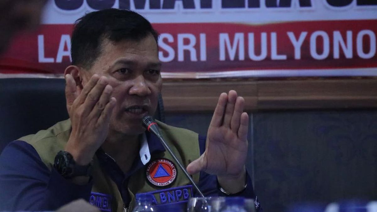
Image credit
Iklan / Advertisement
News sources
CNN Indonesia NasionalPenerbit