
Indonesia
BNPB Maps 44 Burnt Areas in South Sumatra Allegedly Related to Land Expansion
ℹ Short publisher RSS excerpt, not a full article. Open the original source for details.
BNPB identified 44 forest and land fire areas in South Sumatra. Most of the hotspots were found on the boundaries of conversion permits, indicating suspected land expansion.
Limited brief · not enough factual evidence for a full article.
Read original report ↗
✓A concise report from available source information. Use AI only if you need additional explanation.
RingkasNow•
2h ago•
1 min read•
1 sources
Explanation from news sources
AI creates a new explanation from RingkasNow facts and source metadata—it does not copy or fully translate the source article.
Building an explanation from the available facts…
AI · WAITING
News explanation
What happened
Key facts
Why it matters
Context
Who is involved / affected
Information base: 0 sources · 0 evidence items
✓
What we know so far
Facts available from sources, not an AI reconstruction of the event.
1linked sources
1source groups
Satu sumber mediaverification status
Cuplikan RSS dari penerbit asli; bukan artikel lengkap maupun verifikasi independen.
Publishable source details remain limited. Original source links are provided so readers can check context.
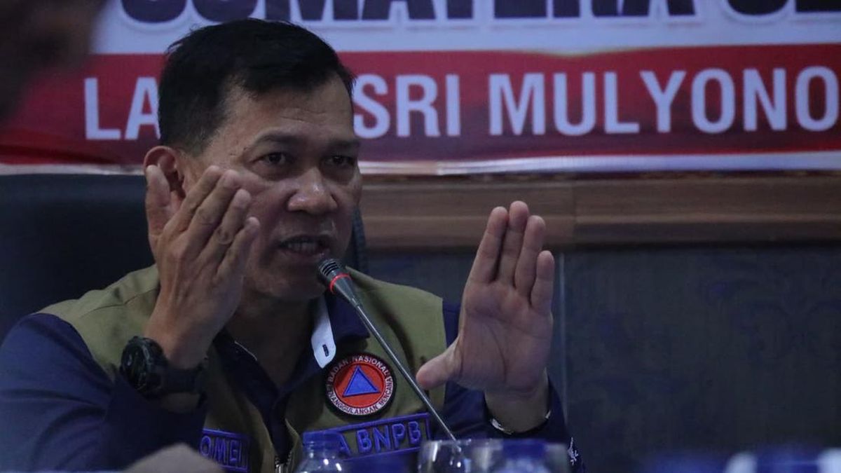
Image credit
Iklan / Advertisement
News sources
CNN Indonesia NasionalPenerbit